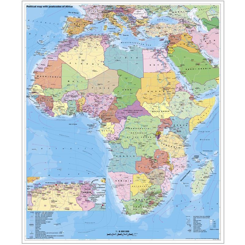


Stiefel Continental map Africa political with postcode on plate for pinning English (69654)
This Stiefel continental map of Africa is designed for practical use in educational, business, or planning environments. Mounted on a rigid foam board and framed in aluminum, the map is ideal for pinning notes or markers directly onto its surface. It features political boundaries and includes postcode information, making it especially useful for logistics, distribution, and regional analysis. The map is printed in English, contains the latest updates, and is ready for easy wall suspension.
1617.39 kr net price (non-EU countries)
Anatolii Livashevskyi
Product Manager![]() /
/ ![]()
+48721808900![]() +48721808900
+48721808900![]() +48721808900
+48721808900
[email protected]
Description
This Stiefel continental map of Africa is designed for practical use in educational, business, or planning environments. Mounted on a rigid foam board and framed in aluminum, the map is ideal for pinning notes or markers directly onto its surface. It features political boundaries and includes postcode information, making it especially useful for logistics, distribution, and regional analysis. The map is printed in English, contains the latest updates, and is ready for easy wall suspension.
This map is an excellent choice for anyone needing a detailed, up-to-date political and postcode map of Africa that is durable, pinnable, and easy to display.
Product Specifications
General Information
-
Type: Continental map
-
Subject: Africa
-
Material: Rigid foam
-
Width: 97 cm
-
Height: 119 cm
-
Framing: Aluminum frame
Map Features
-
Map Type: Political
-
Reverse Side: No features on the back
-
Language: English
-
Up-to-date: Yes, with current information
-
Scale: 1:8,300,000
Special Features
-
Time Zones: No
-
Suspension: Yes, suitable for hanging
-
Magnetic: No
-
Design Map: No
-
Zip-code Map: Yes, includes postcode information
-
Calendar: No
-
3D Map: No