
Stiefel Europe postal code map on board, for pinning to German (48611)
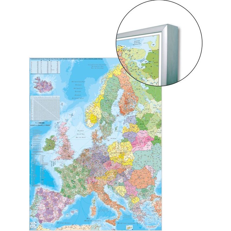
This Stiefel Europe postal code map is designed for practical use in offices, classrooms, and logistics environments where postal code information is essential. The map is mounted on a board, making it suitable for pinning notes or markers directly onto its surface. It is printed in German and features up-to-date political boundaries and postal code regions, providing clear and current geographical information. The large format ensures details are easy to read and reference.
621.26 AED net price (non-EU countries)
Anatolii Livashevskyi
Product Manager![]() /
/ ![]()
+48721808900![]() +48721808900
+48721808900![]() +48721808900
+48721808900
[email protected]
Description
This Stiefel Europe postal code map is designed for practical use in offices, classrooms, and logistics environments where postal code information is essential. The map is mounted on a board, making it suitable for pinning notes or markers directly onto its surface. It is printed in German and features up-to-date political boundaries and postal code regions, providing clear and current geographical information. The large format ensures details are easy to read and reference.
This map is ideal for anyone needing a reliable and interactive postal code map of Europe for planning, logistics, or educational purposes.
Product Specifications
General Information
-
Type: Continent map
-
Material: Paper, mounted on board for pinning
-
Width: 97 cm
-
Height: 119 cm
Map Features
-
Language: German
-
Up-to-date: Yes, includes the latest information
-
Scale: 1:3,600,000
-
Map Type: Political with postal code regions
Special Features
-
3D Map: No