

Stiefel Germany postcode map political (100 cm x 140 cm) German (84070)
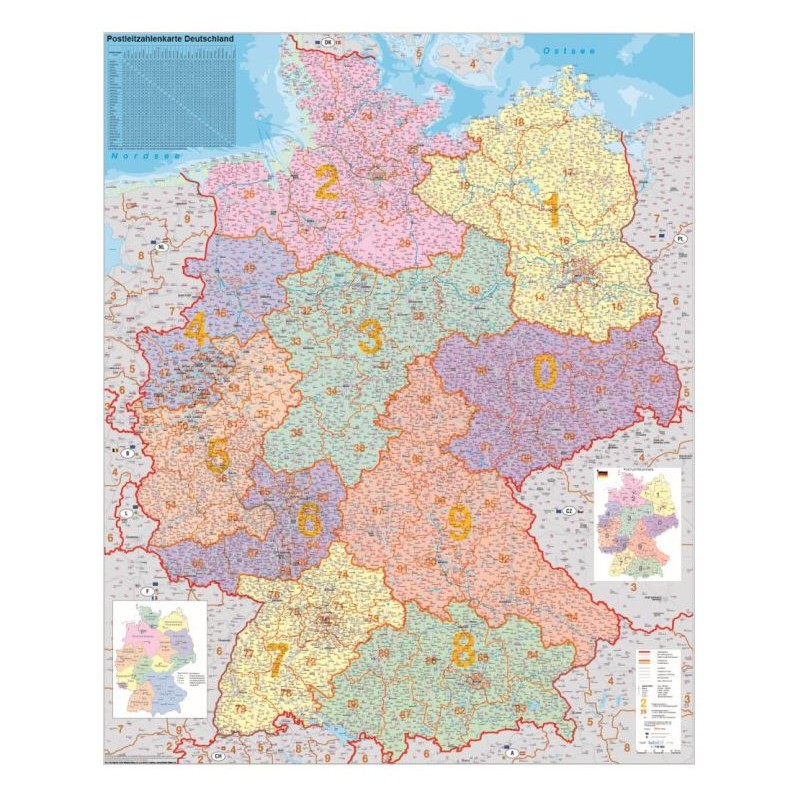
This Stiefel Germany postcode map is a large, detailed resource ideal for businesses, educational settings, and logistics planning. The map is printed in German and displays both political boundaries and postcode regions, providing up-to-date and comprehensive reference information as of 2024. Made from durable synthetic material, it is designed for pinning but does not include a frame or hanging system. The clear layout and large format make it easy to read and mark important locations.
514.26 AED net price (non-EU countries)
Anatolii Livashevskyi
Product Manager![]() /
/ ![]()
+48721808900![]() +48721808900
+48721808900![]() +48721808900
+48721808900
[email protected]
Description
This Stiefel Germany postcode map is a large, detailed resource ideal for businesses, educational settings, and logistics planning. The map is printed in German and displays both political boundaries and postcode regions, providing up-to-date and comprehensive reference information as of 2024. Made from durable synthetic material, it is designed for pinning but does not include a frame or hanging system. The clear layout and large format make it easy to read and mark important locations.
This map is perfect for anyone needing a current, detailed, and pinnable map of Germany with both political and postcode information.
Product Specifications
General Information
-
Type: Country map
-
Subject: Germany
-
Material: Synthetic material
-
Width: 100 cm
-
Height: 140 cm
-
Thickness: 1 cm
-
Framing: None
-
Date of Publication: 2024
Map Features
-
Map Type: Political
-
Language: German
-
Scale: 1:750,000
-
Reverse Side: No features on the back
-
Up-to-date: Yes, includes the latest information
-
Zip-code Map: Yes, includes postcode information
Special Features
-
Suspension: No
-
3D Map: No
-
Pinnable: Yes, suitable for use with pins
-
Magnetic: No
-
Time Zones: No
-
Laminated: No
-
Design Map: No