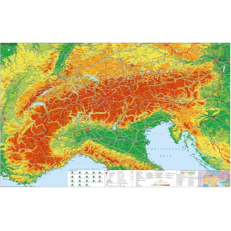

Stiefel Regional map Alpine region with long-distance hiking and cycling routes (140 x 100 cm) German (83194)
This Stiefel regional map of the Alpine region is designed for outdoor enthusiasts, travelers, and educators who need a comprehensive overview of the Alps. The map highlights long-distance hiking and cycling routes, making it a valuable resource for planning adventures or teaching about the region’s geography. Printed in German and featuring the latest information as of 2024, it is made from durable synthetic material and is suitable for pinning. Its large format ensures clear visibility of all physical features and routes.
503.85 zł net price (non-EU countries)
Anatolii Livashevskyi
Product Manager![]() /
/ ![]()
+48721808900![]() +48721808900
+48721808900![]() +48721808900
+48721808900
[email protected]
Description
This Stiefel regional map of the Alpine region is designed for outdoor enthusiasts, travelers, and educators who need a comprehensive overview of the Alps. The map highlights long-distance hiking and cycling routes, making it a valuable resource for planning adventures or teaching about the region’s geography. Printed in German and featuring the latest information as of 2024, it is made from durable synthetic material and is suitable for pinning. Its large format ensures clear visibility of all physical features and routes.
This map is ideal for anyone looking for a detailed, up-to-date physical map of the Alpine region with marked hiking and cycling routes, perfect for planning, education, or display.
Product Specifications
General Information
-
Type: Regional map
-
Subject: Alps
-
Material: Synthetic material
-
Width: 140 cm
-
Height: 100 cm
-
Thickness: 1 cm
-
Framing: None
-
Date of Publication: 2024
Map Features
-
Map Type: Physical
-
Reverse Side: No features on the back
-
Language: German
-
Up-to-date: Yes, includes the latest information
-
Scale: 1:786,000
Special Features
-
Suspension: Yes, suitable for hanging
-
Laminated: No
-
Pinnable: Yes, can be used with pins
-
Magnetic: No
-
Time Zones: No
-
Design Map: No
-
Zip-code Map: No
-
Calendar: No
-
3D Map: No