
Garmin GPSMAP 86sc (010-02235-02) Marine Handheld Preloaded with BlueChart g3 Coastal Charts
Karol Łoś
Product Manager
![]() /
/ ![]()
+48603969934![]() +48507526097
+48507526097
[email protected]
Description
Garmin GPSMAP 86sc Marine Handheld with Preloaded BlueChart® g3 Coastal Charts
Part Number: 010-02235-02
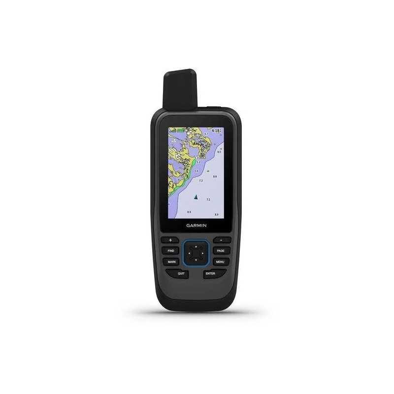
The Garmin GPSMAP 86sc is a robust marine handheld GPS device designed for boating enthusiasts. It offers a multitude of features to enhance your maritime adventures, from navigation to entertainment.
- Water-Resistant and Floats: Built for marine environments, this device is not only water-resistant but also floats, ensuring it remains with you even on rough waters.
- Comprehensive Marine Data: Streamboat data to see all your marine system information at a glance.
- BlueChart® g3 Coastal Charts: Preloaded with Garmin and Navionics® data for exceptional coverage, clarity, and detail of coastal areas.
- Autopilot and Fusion® System Control: Conveniently control your autopilot and onboard Fusion systems directly from your handheld device.
- Smart Notifications: Pair with your smartphone to receive notifications directly on your device, keeping your phone safe and dry.
- Extended Battery Life: Enjoy up to 40 hours of battery life in standard mode, perfect for extended trips.
Key Features
Boat Data
Sync with compatible Garmin chartplotters and instruments to display real-time boat data on your handheld.
Fusion-Link Audio
Operate select onboard Fusion marine products remotely with ease.
Accurate Tracking
An adjustable GPS filter smooths speed and heading indications over swells for precise tracking.
BlueChart Coverage
Benefit from leading-edge coverage with integrated Garmin and Navionics data.
Autopilot Remote
Control your boat's heading, engage pattern steering, and follow GPS routes even when away from the helm.
Backup Navigation
Gain peace of mind with a reliable backup navigator for all your marine adventures.
ABC Sensors
Navigate with confidence using ABC sensors, including an altimeter, barometer, and 3-axis electronic compass.
Smart Notifications
Receive smart notifications when paired with a compatible smartphone.
Garmin Explore™ App
Sync with the Garmin Explore app for cloud management of waypoints, tracks, and routes.
Wireless Connections
Stay connected with Wi-Fi®, ANT+®, and BLUETOOTH® technologies for easy updates and connections.
LED Flashlight
Includes a built-in LED flashlight that can also function as a beacon for signaling.
Battery Life
The rechargeable lithium battery provides up to 40 hours in standard mode and up to 200 hours in expedition mode.
Specifications
Dimensions: 2.65" x 7" x 1.7" (6.75w x 17.8h x 4.4d cm)
Display: 1.5"W x 2.5"H (3.8 x 6.3 cm); 3" diag (7.6 cm), 240 x 400 pixels, transflective, 65K color TFT
Weight: 9.59 oz (272 g)
Battery: Rechargeable, internal lithium-ion
Waterproof: IPX7
Interface: High-speed microUSB and NMEA 0183 compatible
Memory: 16 GB (user space varies based on included mapping)
Maps & Memory
Preloaded with BlueChart® g3, capable of adding more maps. Supports external memory storage up to 32 GB via microSD™ card (not included).
Sensors
Includes high-sensitivity GPS, GLONASS, GALILEO, barometric altimeter, and tilt-compensated 3-axis compass.
Daily Smart Features
Compatible with Connect IQ™, allows for smart notifications and pairs with Garmin Connect™ Mobile.
Outdoor Recreation
Features point-to-point navigation, area calculation, hunt/fish calendar, and more.
Connections
Offers wireless connectivity through Wi-Fi®, BLUETOOTH®, and ANT+® technologies.
Explore the world’s waters with confidence using the Garmin GPSMAP 86sc, your ultimate marine navigation companion!